

Through its high-quality imaging capabilities, the Sensing Satellite will support disaster management. To sum up, launch live activities.
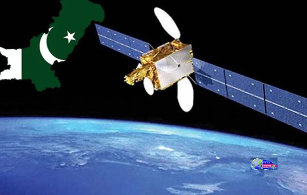
Pakistan’s newest remote sensing satellite was launched from China’s Xichang Satellite Launch Centre on July 31, 2025. It has now completed its initial checks and is ready to begin work.
Over the weekend of August 16–17, 2025, SUPARCO reported that deployment and readiness went well. This was the start of regular data delivery.
Could you please explain the current significance of this satellite?
The satellite provides national agencies and experts with high-quality images of Earth, enabling them to see more clearly across Pakistan’s varied landscape.
Statements from the government and local media point out four areas that need instant attention:
For example, floods, landslides, and earthquakes require early warning and disaster response.
Precision farming, crop mapping, and water control are all parts of agriculture and food security.
Plan cities and their infrastructure, monitoring growth, transport routes, and providing support for the China-Pakistan Economic Corridor (CPEC).
They are also responsible for monitoring environmental factors such as glacier melt, tree loss, and climate markers.
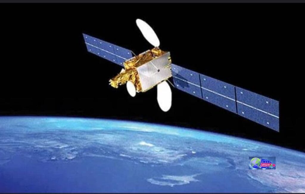
The satellite can capture high-quality images.
Officials haven’t made the exact sensor specs public yet. Still, the satellite is said to be high-resolution and multi-purpose, and it’s meant to regularly take clear pictures of Pakistan and the surrounding area. That means more specific information to determine the extent of the damage after bad weather.
Planners need more accurate ways to group land uses.
Implement better change recognition to monitor issues such as erosion, encroachment, and illegal logging.
From reacting to being ready, disaster management.
Pakistan needs fast, accurate images due to its monsoon-driven flood risk and seismically active zones. Since the satellite is now in the air:
Before events occur, hydrologists and NDMA teams can use new satellite passes and rainfall predictions to identify rivers likely to swell, areas likely to slide, and glacial lakes that could burst.
During events, acquisitions that occur almost instantly help map flooding, identify towns that are cut off, and determine which rescue routes are most important.
After an event, regular revisits allow assessments of loss and damage, aid targeting, and record-keeping of healing progress for insurance and transparency.
Farming and water: images that pay off.
Agriculture planners can mix multispectral imagery with field data to estimate crop health and yields at district and canal-command scales.
Find the best times to water and fix water stress early on.
Monitor crop trends to enhance your planning for purchases and storage.
This is a significant aspect of Pakistan’s stated goal to promote more precise farming and innovative approaches to managing water resources.
Cities, roads, and CPEC.
Urbanisation is rapidly altering land use along Karachi’s shoreline and in the northern valleys. Visualisations for operations will help planners:
Record urban growth and use it to guide zoning.
Check out the construction footprints and transportation routes.
Geohazard hotspots should be marked on roads, trains, and energy routes, especially where they cross CPEC alignments.
We must prioritise the preservation of the environment.
Regular coverage helps:
Glacier and snowpack tracking is done to plan for water flows further downstream.
We monitor changes in forest cover to prevent illegal deforestation.
To examine how the climate changes over time, we use air, land, and surface water as stand-ins.
The spaceship adds to Pakistan’s space activities.
In Pakistan, Earth observation began with PRSS-1 (2018), and this satellite adds to that tradition. It builds on achievements from 2024 and 2025, including the iCube-Qamar lunar cubesat and the ability to communicate via PakSat-MM1.
These developments led to a more comprehensive and up-to-date data stream for civil protection, planning, and study across the country.
What is going to happen next?
Protocols for entry and tasking: Official request lines for priority imaging during incidents will be established by the agencies.
More products will be released soon that combine satellite images with GIS layers, water models, and Internet of Things (IoT) sensors to create maps that are ready for decision-making.
Building up people’s skills: teaching provincial governments and universities how to turn raw data into useful information more quickly.
In short.
The launch of a new remote imaging satellite has significantly enhanced Pakistan’s aerial surveillance capabilities by delivering high-quality images on time.
It improves planning and resource management, strengthens disaster preparedness and response, and gives scientists better tools to understand a rapidly warming, changing landscape.